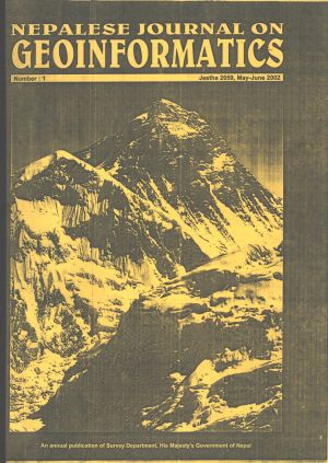
National Geographic Information Infrastructure Programme to Support National Geographic Information System in Nepal
DOI:
https://doi.org/10.3126/njg.v1i1.51469Keywords:
NGII, NGIS, NepalAbstract
GIS are effective tools for the planning and monitoring of different development projects like engineering, socio-economic, and environmental projects. Due to lack of proper spatial data and geoinformation infrastructure in the past, all GIS projects spent very significant share of their projects on the development of such framework data. Recently the Survey Department of His Majesty’s Government of Nepal has launched a national geoinformation infrastructure programme (NGIIP) to support sectoral GISes with spatial data and. The rationale and the objectives of the programme in the context of the open data dissemination policy undertaken in Nepal are outlined.


