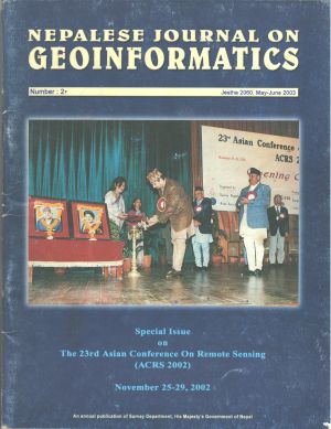
Topographical survey branch with remote sensing
DOI:
https://doi.org/10.3126/njg.v2i1.51457Abstract
This paper is made for institutional development and it is oriented towards the study of past, present and future of Topographical Survey Branch. All existing (Topographical, Land Resource, Thematic, Derived etc) maps of HMG Topographical Survey Branch prepared on different dates by different donor agencies, has become outdated, so regular and systematic updating of these maps are very important. This has become a big problem because of constraints of finance and human resources. When we adopt modern technology, like Remote Sensing with GIS, there are problems in lack of specialists and finance. If we adopt conventional method we have financial constraints and it is very time consuming also. Remote Sensing with GIS is the only optimal methodology for updating all these maps. Other than that, the Satellite Space image data used for updating of existing maps can be further used for various other programs, projects, studies and research of other users also.


