Immediate Recovery Vision for Geo-information Sector in the Context of Post 2015 Earthquake Reconstruction
Keywords:
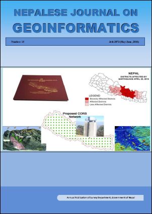
Earthquake, CORS, Geodetic Network, Rehabilitation, Orthophoto Image, DTMAbstract
The devastating Earthquake 2015 has not only caused heavy loss of human lives and properties but also destructed the base of surveying and mapping. Maps and geoinformation are the foundation for resettlement and development activities whereas Geodetic Control Network is the fundamental base for all kind of mapping activities. Accurate and reliable Geoinformation is the foundation for any Post Disaster planning, resettlement activities, Disaster Risk Reduction and all kind of development activities. The Geodetic Network is the infrastructure of the infrastructures. For any development activities, mapping is a must and that the mapping to be of sufficient accuracy, the accuracy of Geodetic Network must be ascertained. Every developmental activities, reconstruction, rehabilitation, reconciliation processes require geoinformation and other census data. Successful implementation of this programme will ensure the reduction in data redundancy and ultimately reduces the time and cost for geo spatial data production.
Downloads
Published
How to Cite
Issue
Section
License
© Copyright reserved by Survey Department, Government of Nepal
This license enables re-users to distribute, remix, adapt, and build upon the material in any medium or format, so long as attribution is given to the creator. The license allows for commercial use. If you remix, adapt, or build upon the material, you must license the modified material under the same or a compatible license.
